


Mr Ward's Map: Victorian Wellington street by street
- ISBN #9781991309068
- Elizabeth Cox
- Hardback
- Ships in 3-10 days
- Ships in 3-10 days
Mr Ward's Map: Victorian Wellington street by street
- ISBN #9781991309068
- Elizabeth Cox
- Hardback
- Ships in 3-10 days
- Ships in 3-10 days
$78.25 ex GST
- Product Details
- Delivery & Returns
-
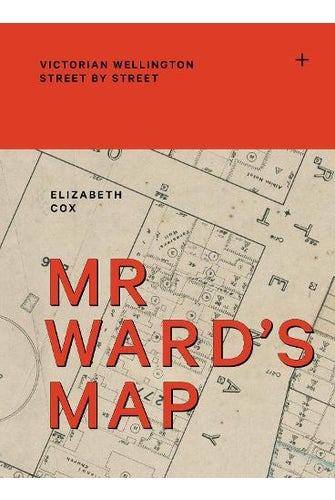
In 1891, a remarkable map of Wellington was made by surveyor Thomas Ward. It recorded the footprint of every building, from Thorndon in the north and across the teeming, inner-city slums of Te Aro to Berhampore in the south. Updated regularly over the next 10 years, it detailed hotels, theatres, oyster saloons, brothels, shops, stables, Parliament, the remnants of Maori kainga, the Town Belt, the prisons, the 'lunatic asylum', the hospital and much more, in detail so particular that it went right down to the level of the street lights. Luxuriously packaged with a cloth case and fold-out jacket, Mr Ward's Map uses this giant map and historic images to tell marvellous stories about a vital capital city, its neighbourhoods and its people at the turn of the twentieth century.
- Format: Hardback
- Publication Date: 06/11/2025
- Publisher: Massey University Press
- Illustrations: 200 Illustrations, black and white; 300 Illustrations, color
- Country of Origin: New Zealand
- Pages: 560
- Dimensions (mm): 315x230x40mm
- Weight: 2200g
-
There is no Handling & Delivery cost for orders over $50 ex GST unless there are large items in your order.
Orders under $50 (ex GST) & excluding Gift Card only orders :
$6.00 ex GST ($6.90 incl GST)
Surcharge for Rural Delivery addresses $3.13 ex GST ($3.60 incl GST) for orders under $50 ex GST
Orders with only Gift cards under $50 are charged $2.52 ex GST ($2.90 incl GST)There is no Handling & Delivery cost for eGift card orders.
Charges for Large or Bulky items . These are indicated by the Large item icon.
Regardless of total order value: first unit $8.70 ex GST ( $10 incl GST), then every subsequent unit $4.35 ex GST ($5 incl GST)Read more about Delivery Information
Read our Returns and Exchanges Policy
-
Product Details
In 1891, a remarkable map of Wellington was made by surveyor Thomas Ward. It recorded the footprint of every building, from Thorndon in the north and across the teeming, inner-city slums of Te Aro to Berhampore in the south. Updated regularly over the next 10 years, it detailed hotels, theatres, oyster saloons, brothels, shops, stables, Parliament, the remnants of Maori kainga, the Town Belt, the prisons, the 'lunatic asylum', the hospital and much more, in detail so particular that it went right down to the level of the street lights. Luxuriously packaged with a cloth case and fold-out jacket, Mr Ward's Map uses this giant map and historic images to tell marvellous stories about a vital capital city, its neighbourhoods and its people at the turn of the twentieth century.
- Format: Hardback
- Publication Date: 06/11/2025
- Publisher: Massey University Press
- Illustrations: 200 Illustrations, black and white; 300 Illustrations, color
- Country of Origin: New Zealand
- Pages: 560
- Dimensions (mm): 315x230x40mm
- Weight: 2200g
- Delivery & Returns