


New Plymouth & Taranaki Towns Minimap 17
- ISBN #9415871000621
- MINIMAP
- In Store Only
- In Store Only
New Plymouth & Taranaki Towns Minimap 17
- ISBN #9415871000621
- MINIMAP
- In Store Only
- In Store Only
$6.95 ex GST
- Product Details
- Delivery & Returns
-
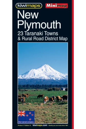
New Plymouth and Taranaki region in a series of maps covering various districts of New Zealand, with each title combining a detailed road map with street plans of local towns, all with road and street indexes. The maps are published in two formats: handy Pocket Maps or Pathfinders with, as the publishers put it Larger print so you don't squint. The road maps, typically around 1:175,000 - 1:275,000, show local roads and 4WD tracks. Main sightseeing routes across the country, such as the Pacific Road Highway or Thermal Explorer Highway, are identified by small icons. Railways, local airports and where appropriate, ferry routes are shown. The maps also include selected local hiking tracks. A range of symbols highlight various places of interest and sport or recreational facilities. Topography is indicated by names of mountain ranges and selected peaks. Colouring shows forested areas, with national parks and reserves highlighted. The maps have no geographical coordinates but each one has an index listing names of local roads.
- Publication Date: 03/04/1996
- 610 x 426mm
- Sheet Map, folded
-
There is no Handling & Delivery cost for orders over $50 ex GST unless there are large items in your order.
Orders under $50 (ex GST) & excluding Gift Card only orders :
$6.00 ex GST ($6.90 incl GST)
Surcharge for Rural Delivery addresses $3.13 ex GST ($3.60 incl GST) for orders under $50 ex GST
Orders with only Gift cards under $50 are charged $2.52 ex GST ($2.90 incl GST)There is no Handling & Delivery cost for eGift card orders.
Charges for Large or Bulky items . These are indicated by the Large item icon.
Regardless of total order value: first unit $8.70 ex GST ( $10 incl GST), then every subsequent unit $4.35 ex GST ($5 incl GST)Read more about Delivery Information
Read our Returns and Exchanges Policy
-
Product Details
New Plymouth and Taranaki region in a series of maps covering various districts of New Zealand, with each title combining a detailed road map with street plans of local towns, all with road and street indexes. The maps are published in two formats: handy Pocket Maps or Pathfinders with, as the publishers put it Larger print so you don't squint. The road maps, typically around 1:175,000 - 1:275,000, show local roads and 4WD tracks. Main sightseeing routes across the country, such as the Pacific Road Highway or Thermal Explorer Highway, are identified by small icons. Railways, local airports and where appropriate, ferry routes are shown. The maps also include selected local hiking tracks. A range of symbols highlight various places of interest and sport or recreational facilities. Topography is indicated by names of mountain ranges and selected peaks. Colouring shows forested areas, with national parks and reserves highlighted. The maps have no geographical coordinates but each one has an index listing names of local roads.
- Publication Date: 03/04/1996
- 610 x 426mm
- Sheet Map, folded
- Delivery & Returns